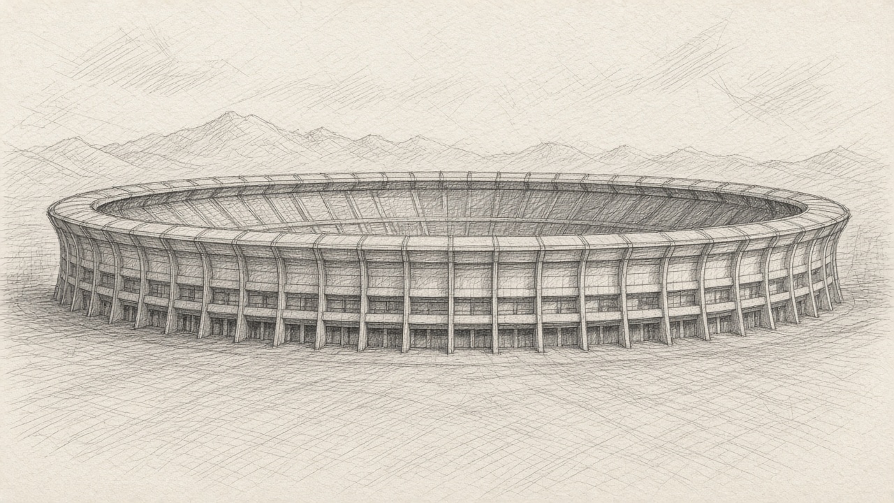
Estadio Banorte
- Teams
- MIN, SF
- City
- Mexico City
- Country
- Mexico
- Roof
- open
- Surface
- hybrid (GrassMaster hybrid, laid in the 2024-2026 renovation)
- Coordinates
- 19.303, -99.1505
- Ground elevation
- 7365 ftGround elevation at the listed lat/lon from Open-Meteo Elevation API (Copernicus DEM GLO-90), not a published field-level figure.https://api.open-meteo.com/v1/elevation?latitude=19.303&longitude=-99.1505
- Opened
- 1966
- Grade station
- Graded on the Open-Meteo grid at the venue's coordinates
- Note
- 2026 official name is Estadio Banorte (formerly Estadio Azteca; renamed 2025). It was called 'Estadio Ciudad de México' during the 2026 World Cup only. Roof is 'open': a roof canopy covers the stands only. Wikipedia infobox elevation is 2,241 m (about 7,350 ft); the DEM value is 7,365 ft. Rarefied air: worth a GDW note.
This season
- MIN at SF · Week 11 · Sun 8:20pm ET
Sources
- https://en.wikipedia.org/wiki/Estadio_Azteca
- https://www.estadiobanorte.com.mx/en/news/ya-puedes-conseguir-las-entradas-para-vivir-la-nfl
- https://www.mexicocity.cdmx.gob.mx/venues/estadio-banorte/
- https://www.nfl.com/news/nfl-announces-multiyear-return-to-mexico-city-for-regular-season-games-starting-in-2026
- https://en.wikipedia.org/wiki/2026_NFL_season
- https://api.open-meteo.com/v1/elevation?latitude=19.303&longitude=-99.1505